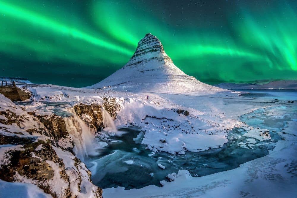

Kirkjufell is the cone-shaped mountain on the Snæfellsnes Peninsula that shows up in nearly every "top photos of Iceland" list, and travellers planning a self-drive trip often want to know if it's worth the detour, how far it actually is from Reykjavik, and what it's like to visit in winter versus summer.
Short answer: Yes, Kirkjufell is generally worth visiting if you're already driving the Snæfellsnes Peninsula or have a full day to spare from Reykjavik. It's about a three-hour drive each way, the mountain and the adjacent Kirkjufellsfoss waterfall are both easy to reach from the parking area, and the road is maintained year-round, though winter driving calls for extra care and, ideally, a 4x4.
How far is Kirkjufell from Reykjavik?
Kirkjufell sits on the north coast of the Snæfellsnes Peninsula, just outside the fishing town of Grundarfjörður, and it takes roughly three hours to drive there by rental car from either Reykjavik or Keflavik Airport. It's not a stop you pass on the way to somewhere else, it's a dedicated day trip or the first leg of a longer Snæfellsnes loop.
The route leaves the Ring Road (Route 1) and follows Route 54 onto the peninsula, passing through a quieter, less-touristed stretch of West Iceland than the Golden Circle. Along the way, many drivers break up the journey with a stop at the Eldborg volcanic crater; the coastal stone arch at Arnarstapi and the edge of Snæfellsjökull National Park sit further west, on the peninsula loop rather than on the direct route, which crosses the peninsula on Route 56 before you reach Kirkjufell. Because it's a there-and-back drive from Reykjavik (or a loop if you continue around the peninsula), a self-drive car gives you far more flexibility than a scheduled tour, since you can decide how long to spend at each stop and adjust for weather.
Is Kirkjufell worth visiting?
For most travellers, yes, Kirkjufell earns its reputation, but the value comes from the whole Snæfellsnes drive, not just the five minutes standing at the viewpoint. The mountain itself is a distinctive, steep-sided peak that looks different from every angle, and it's paired with a genuinely photogenic waterfall right beside the parking area.
Where it's less worth it: if you only have one day in Iceland and are choosing between Kirkjufell and the Golden Circle, or if you're short on time and can't spare the better part of a day for the round trip. Kirkjufell rewards travellers who treat it as part of a Snæfellsnes day trip or a longer Ring Road itinerary that already has them in West Iceland, rather than as a quick add-on squeezed between other plans.
What does Kirkjufell mountain look like, and why "Church Mountain"?
Kirkjufell translates to "Church Mountain," a name that comes from its steep, tapered shape, which some early travellers thought resembled a church steeple rising out of the coastline. At 463 metres, it's not a tall mountain by Icelandic standards, but its isolated position on a small headland, with the sea on one side and open farmland on the other, makes it look far more dramatic than its height suggests.
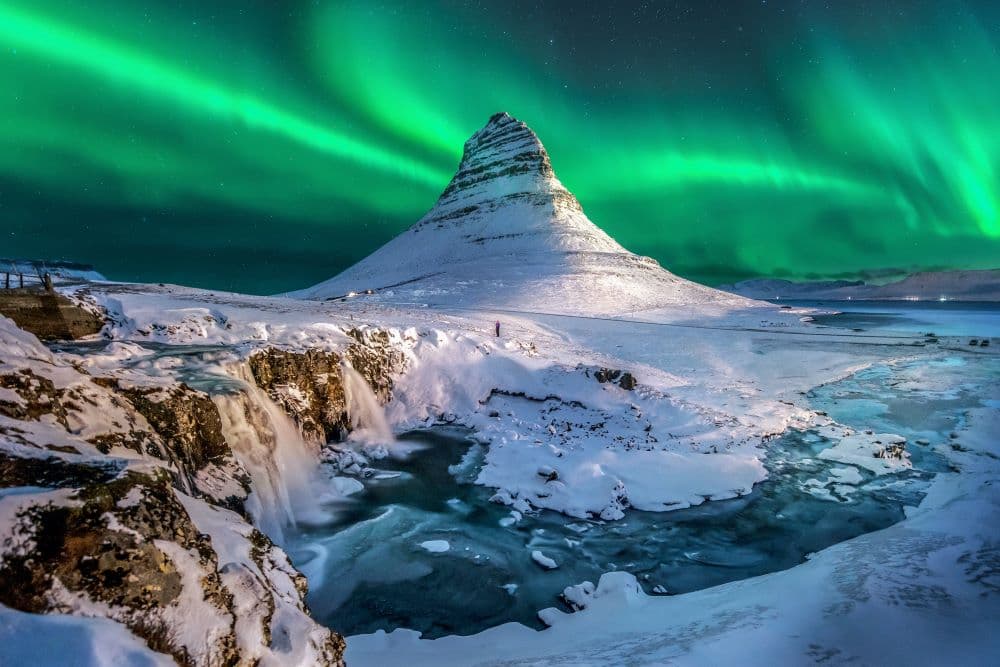
Because it stands alone rather than as part of a ridge, Kirkjufell reads differently depending on the angle you view it from and the season, sharp and dark against snow in winter, softer and green-flanked in summer. This is a large part of why it's become one of the most photographed mountains in Iceland.
Kirkjufellsfoss: the waterfall everyone photographs
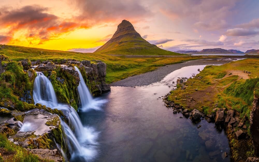
Kirkjufellsfoss is the small waterfall just off the parking area, and it's the reason so many Kirkjufell photos look identical: from the right spot near its base, you can frame the falls and the mountain together in a single shot. It isn't the largest or most powerful waterfall in Iceland, but its composition, the two-tiered falls flowing toward the mountain in the background, is what makes it a reliable stop for casual travellers and photographers alike.
The path from the car park to the waterfall is short and generally easy to walk, but it can get muddy and slippery, especially after rain or in freezing conditions, so proper footwear matters more here than the short distance suggests.
Visiting Kirkjufell in winter vs summer
Kirkjufell is accessible year-round, since the road leading to it is maintained through the winter months, but the experience, and the driving conditions, differ significantly by season.
| Winter (Nov–Mar) | Summer (Jun–Aug) | |
|---|---|---|
| Daylight | Short days; plan the drive around limited daylight hours | Long days, including the midnight sun, giving flexible timing |
| Road conditions | Can be icy or snow-covered; conditions vary by day | Generally dry and straightforward |
| Recommended vehicle | 4x4 strongly recommended | 2WD is usually sufficient |
| Photography draw | Possible Northern Lights over the mountain | Soft, extended evening light |
| Waterfall path | Can be icy or slushy near the base | Usually easy underfoot, though can be muddy |
| Crowds | Noticeably quieter | Busiest time of year |
Before any winter trip, check current conditions at umferdin.is and vedur.is, since road status and weather on the Snæfellsnes Peninsula can change quickly and shouldn't be assumed from general seasonal patterns.
Do you need a 4x4 to visit Kirkjufell?
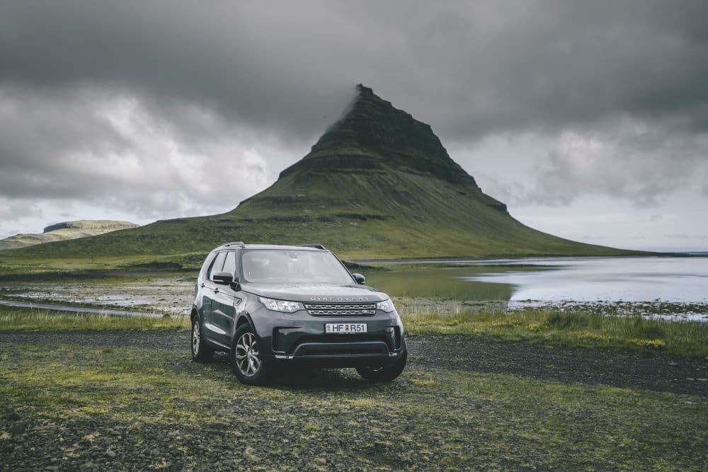
In summer, a standard 2WD car is generally fine for the drive to Kirkjufell, since Route 54 is a paved, well-maintained road. In winter, a 4x4 is the safer choice, given the likelihood of ice, snow, and sudden weather changes on the peninsula.
This isn't a legal requirement the way F-roads in the Highlands require 4x4 vehicles, Kirkjufell sits on a normal public road, not an F-road, but the practical driving conditions in winter are a different matter from summer. If you're unsure which vehicle class suits your season and itinerary, our guide on whether you need a 4x4 rental in Iceland walks through the main questions to ask yourself, and our winter driving guide covers what changes on Icelandic roads once the weather turns.
Planning the drive and the rest of the Snæfellsnes Peninsula
Kirkjufell is easy to combine with the wider Snæfellsnes Peninsula, sometimes called "Iceland in miniature" because it packs glaciers, lava fields, black-sand beaches, and fishing villages into one compact route. Grundarfjörður, the town right next to Kirkjufell, is a sensible place to stop for food, fuel, or a break before continuing the loop.
A few practical points worth building into your plan:
- Fuel up before you leave Reykjavik or in Grundarfjörður, stations are sparse once you're deep into the peninsula.
- Pack for changeable weather, even in summer: waterproof boots, a windproof layer, and warm layers for the coast, since conditions near Kirkjufell can shift quickly regardless of season.
- Download offline maps before you leave, as mobile signal can be patchy in rural stretches of West Iceland.
- Watch for sheep on the road, particularly in summer when they roam freely near the roadside.
If you're picking up your car at Keflavik Airport before heading out, online check-in lets you complete the paperwork in advance so you're not delayed before a three-hour drive, and choosing the right vehicle for the season from a range that includes both 2WD and 4x4 options is worth doing at booking stage rather than adjusting later.
Is Kirkjufell worth the trip? A straightforward answer
If the worry behind "is Kirkjufell worth it" is really "will this eat a full day for one photo stop," the honest answer is that it shouldn't be treated as a single stop at all. Paired with the rest of the Snæfellsnes Peninsula, Arnarstapi, Eldborg, Snæfellsjökull National Park, and Grundarfjörður, a full-day loop covers several distinct landscapes, not just one mountain. Planned that way, most travellers find it a solid use of a day, in any season, provided the vehicle and timing match the conditions.
 CAN YOU DRINK TAP WATER IN ICELAND?