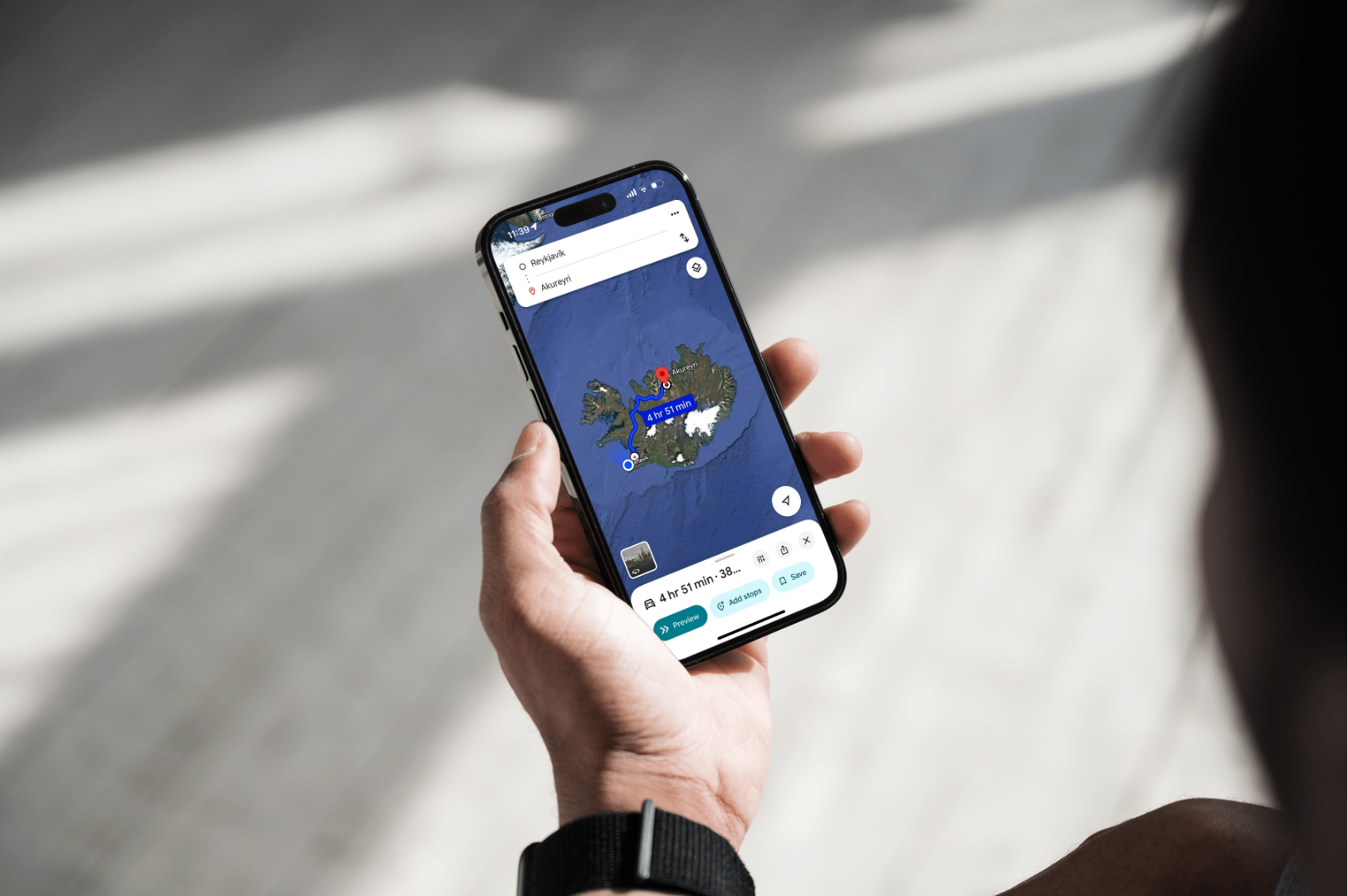

Most visitors planning a self-drive trip want to know one simple thing: will Google Maps actually get me around Iceland? The short answer is yes, and this guide covers how well it performs on the Ring Road and in Reykjavik, when to switch to offline mode, whether Waze is a real alternative, and what neither app can tell you about road closures or weather.
Does Google Maps work well in Iceland?
Yes. Google Maps is the primary navigation tool for both locals and visitors in Iceland, and it performs reliably on paved roads, in Reykjavik, and along most of Route 1 (the Ring Road). You can search by place name, "Gullfoss," "Skógafoss," a hotel name, rather than needing a full street address. Coverage weakens in the Highlands and on remote F-roads, so downloading an offline map before you set off is worth the two minutes it takes.
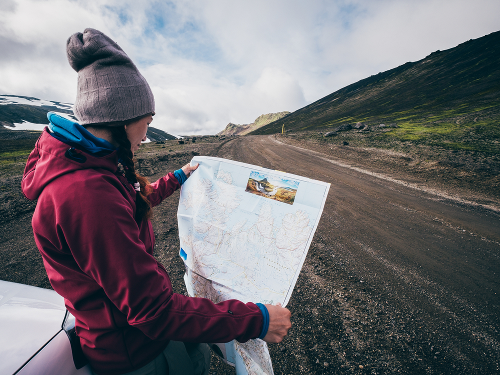
There's no separate "Google Maps Iceland" app or a site called googlemaps.is, some travellers search for this expecting a dedicated Icelandic version. It's the same global Google Maps app or maps.google.com, and it works well here without any local variant needed.
Is Google Maps reliable for Reykjavik and the Ring Road?
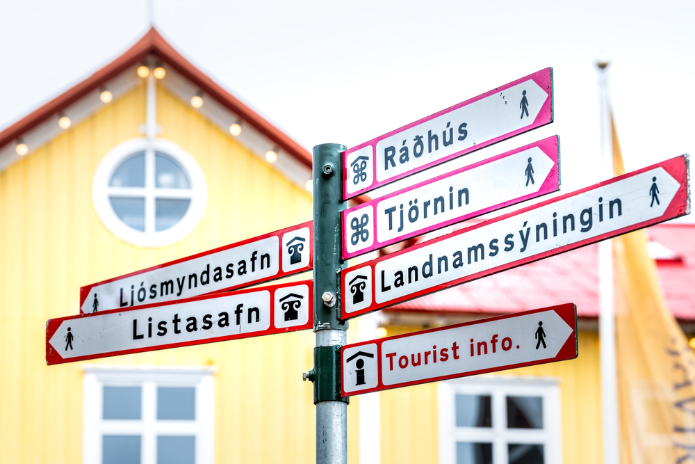
Yes, for both. In Reykjavik, Google Maps handles addresses, parking areas, one-way streets, and Icelandic characters (á, ð, þ, ö) without issue, search results and turn-by-turn directions work the same as they would in any major city. Along the Ring Road, you'll get live rerouting, accurate ETAs, and points of interest for most of the route's length.
Where it gets less certain is once you leave the ring: gravel side roads, mountain passes, and anything inside the Highlands. The app will still draw a route, but it has no way of knowing whether that route is legally open, seasonally closed, or a 4x4-only track.
| Area | Typical Google Maps performance | What to do |
|---|---|---|
| Reykjavik & Capital Area | Strong, real-time | Use online mode normally |
| Ring Road (Route 1) | Strong for most of its length | Online, with offline maps as backup |
| South Coast (Reykjavik–Vík–Höfn) | Generally strong | Check vedur.is before exposed viewpoints |
| Westfjords & Eastfjords valleys | Patchy in places | Download offline maps first |
| F-roads / Highlands (e.g. F35 Kjölur, F208 Landmannalaugar) | Route may show, status unknown | Check road.is and use a 4x4 |
Does Waze work in Iceland?
Waze technically runs in Iceland, but it's a weaker choice than Google Maps here. Waze relies heavily on crowd-sourced traffic and hazard reports, and Iceland's small population means far fewer active Waze users feeding that data compared to the US or UK. You'll still get basic routing, but the incident reports, speed trap alerts, and live rerouting that make Waze useful elsewhere are thin outside Reykjavik.

Google Maps also has a practical edge for tourists: it understands landmark and business names the way locals search for them, and its offline maps are more mature for a country where you'll regularly lose signal in valleys and mountain passes. Most visitors are better served sticking with Google Maps as the primary app and treating Waze as unnecessary rather than complementary.
Should I use offline maps, and how do I set them up?
Yes, download Iceland for offline use before you leave the airport Wi-Fi, even if you expect good signal the whole trip. It takes a few minutes and gives you a working safety net for the Highlands, remote valleys, and moments when your roaming plan drops out.
To set it up:
- Open Google Maps and tap your profile photo.
- Go to Offline maps → Select your own map.
- Zoom out and drag the selection to cover Iceland, including the Westfjords and Eastfjords.
- Tap Download.
- In offline map settings, toggle Auto-update offline maps so it refreshes on Wi-Fi.
Then star your key stops, your Blue Car Rental pickup point, hotel, and daily sights, and build a simple list for each leg of the trip. Offline maps still give you turn-by-turn driving directions without data, just without live traffic or rerouting.
Will Google Maps route me onto an F-road?
It might show one as an option, but that doesn't mean it's suitable or currently open. F-roads are Iceland's mountain tracks, routes like F35 (Kjölur) or F208 (Landmannalaugar), and they are legally restricted to 4x4 vehicles, open only seasonally, and often involve gravel, steep sections, and river crossings. Google Maps has no live feed on closures, weather, or whether your rental car is permitted on that road.
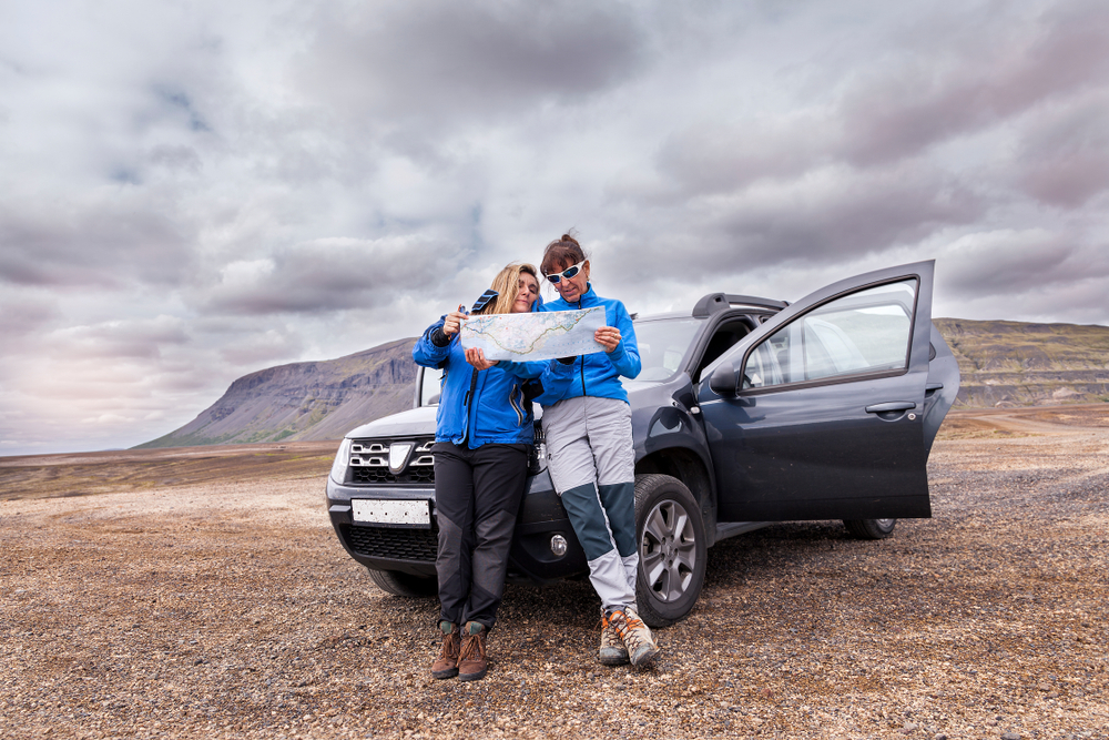
Before any Highlands plan, check current status on road.is (Vegagerðin, the Icelandic Road and Coastal Administration) and safetravel.is, and confirm your vehicle is rated for F-roads. If you're unsure whether a route or a river crossing is passable, the right call is to turn around rather than guess, this is covered in more detail in our guide to F-roads and the Highlands and in do you need a 4x4 in Iceland.

What Google Maps can't tell you
Google Maps can guide you turn by turn, but it can't close a road or change the forecast. In Iceland that gap matters more than in most places, because weather and road status shift quickly, especially outside summer.
Two habits cover the gap:
- Check road.is daily for closures, gravel conditions, and webcams showing wind and visibility.
- Check vedur.is (Icelandic Met Office) for yellow, orange, or red weather alerts, and adjust your plan around them.
In winter especially, treat Google Maps' ETA as a starting point, not a guarantee, start earlier, allow more time between stops, and see our winter driving guide for what changes when daylight and road conditions shift.
Google Maps vs a car GPS vs Waze
For most self-drive visitors, Google Maps on your own phone beats both a rental car's built-in GPS and Waze. It searches by name rather than requiring exact addresses, works offline, updates constantly, and connects to many rental cars via Android Auto or Apple CarPlay.
| Feature | Google Maps | Standalone car GPS | Waze |
|---|---|---|---|
| Search by name/landmark | Yes | Often address-only | Yes, but sparser results |
| Offline maps | Yes | Usually yes | Limited |
| Live traffic/incident data | Good on main roads | Rarely updated | Weak (low user base in Iceland) |
| CarPlay/Android Auto | Yes | N/A | Yes |
| Local place data (cafés, gas, hours) | Strong | Weak | Weak |
A dedicated GPS unit is only worth considering as an extra backup device if you're planning long, remote stretches and want redundancy beyond your phone.
Mistakes to avoid with navigation apps here
- Don't assume a road shown on Google Maps is open, always cross-check F-roads and gravel routes against road.is, particularly outside summer.
- Don't rely on Waze for real-time hazard warnings in Iceland; the user base is too small to make crowd-sourced alerts reliable.
- Don't skip the offline download because "coverage looked fine last time", valleys, tunnels, and weather can all interrupt signal without warning.
- Don't treat in-app speed limits as authoritative; always follow posted road signs, which take precedence.
- Don't drive on standard tyres in winter and expect Google Maps' ETA to hold, see our driving in Iceland overview for seasonal differences.
Getting started at Keflavik with your route ready
A practical first hour at KEF sets the tone for the rest of the trip. Connect to airport Wi-Fi, confirm your offline map has downloaded, and open road.is and vedur.is for a quick check of the day's conditions before you drive. If you're picking up with Blue Car Rental, online check-in lets you complete the paperwork ahead of time, so you can move from baggage claim to the road with your route already loaded and your first destination starred.

Once you're in the car, choosing the right vehicle for your route matters as much as the app you navigate with, a 2WD suits paved routes like the Golden Circle or South Coast, while F-roads and Highlands routes call for a 4x4. Our vehicle range and the parking in Reykjavik guide are worth a look before you set off.
The bottom line
Google Maps is a dependable main tool for driving in Iceland, it's what locals use, it handles Reykjavik and the Ring Road well, and its offline mode covers the gaps in remote areas. It won't tell you if an F-road is closed or a storm is coming, so pair it with a daily check of road.is and vedur.is, and choose a vehicle that matches your actual route rather than the shortest line on the map.
 4X4 RENTAL IN ICELAND: ROUTE AND SEASON REQUIREMENTS